

Did you read my blog from Tuesday this week?! Our Umptanum Creek Falls adventure didn’t fall short in that category. Our first try to make it to the falls was a flop, ending in me turning around after 1.8 miles sad, disappointed, and discouraged.
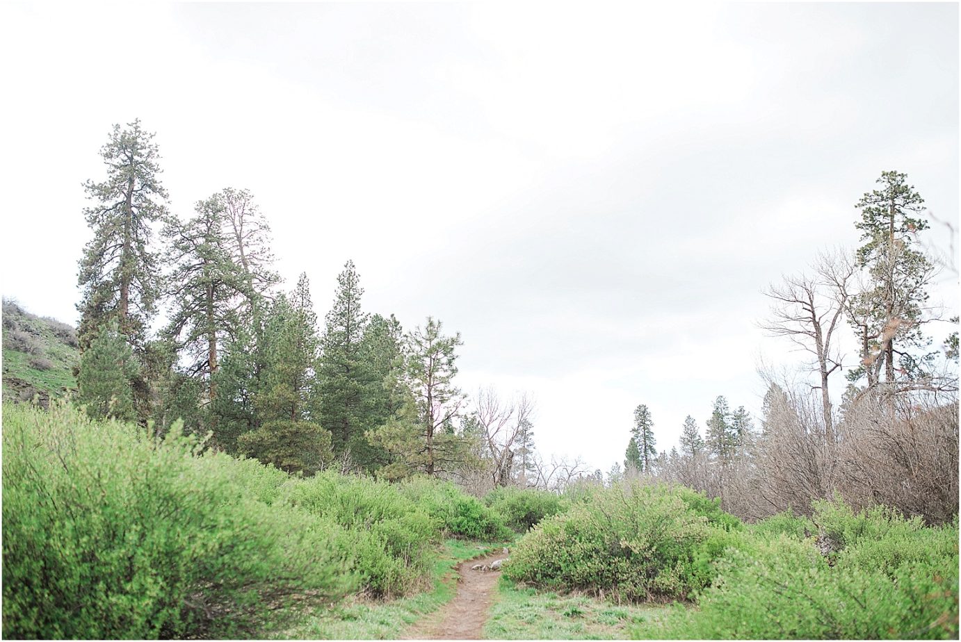
It wasn’t until I got back to the car that I figured out there are actually TWO trailheads for the Umptanum Creek. One is just for the creek, and one is for the falls. If we would have stayed on the trail we were on earlier that week, it would have taken 8+ miles to even get to the falls, then we would have had to turn around and go back. That’s not fun for me. I was grateful that I turned around when I did once I realized that was the case. I did a bit more researched, removed my crabby review of the hike, and then we made our way to the REAL Umptanum Creek Falls trail head. Both of the trailheads are just about 10 minutes outside of Ellensburg, but one is on the Canyon Road, and the other is on Umptanum Road. Umptanum Road is a paved road, until you get up the mountain a little ways. Once the gravel starts, the road gets a bit more narrow, and a little more sketchy. From the spring runoff, parts of the road have been washed out, but you can tell that the county is doing what they can to keep up with it. At least they’re trying.
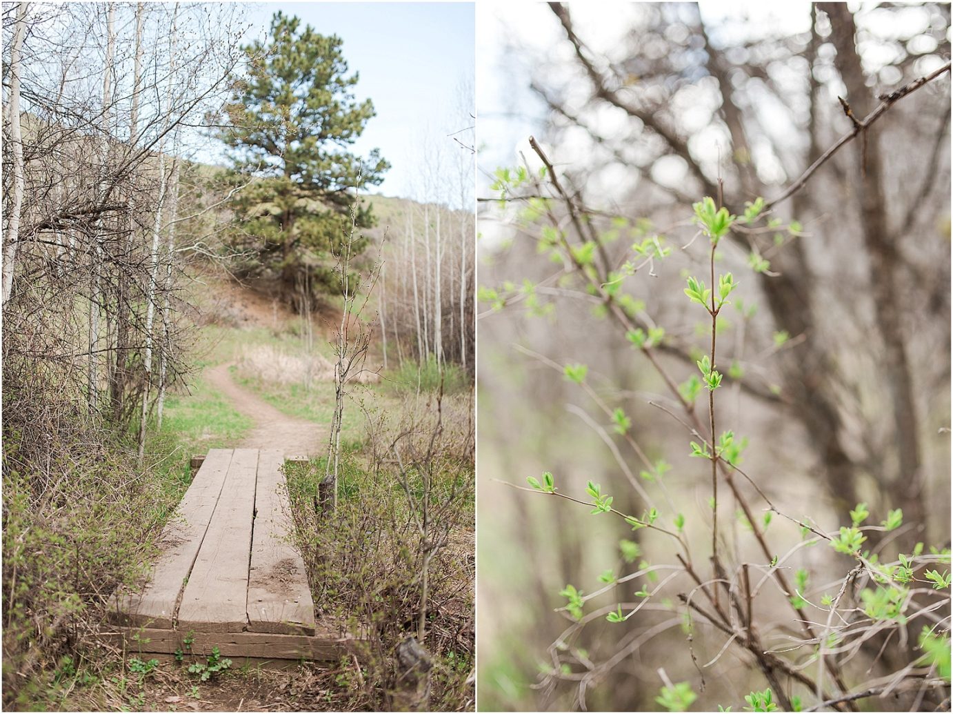
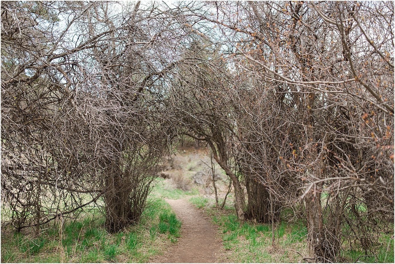
After almost 10 miles down the road, you get to the trailhead, and right out of the gate, you get to cross the creek.


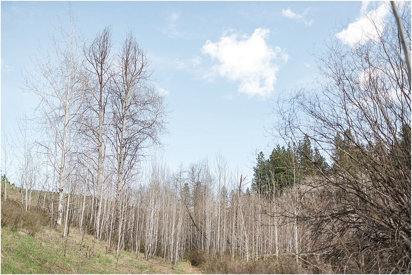
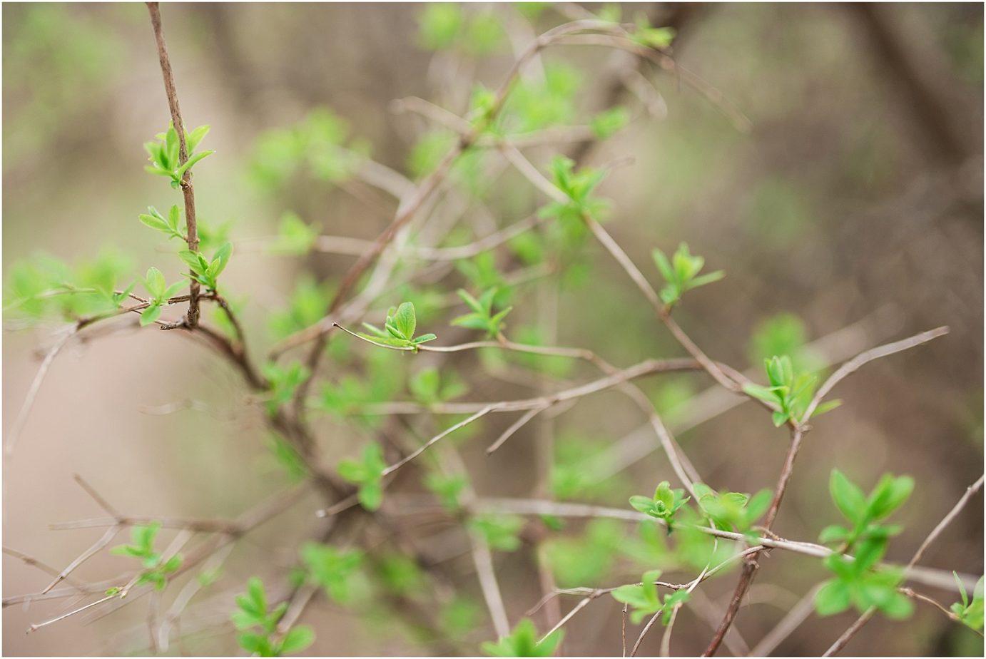
After you cross the creek, you get to go through the cutest grove of Aspens as it meanders it’s way along side the creek. I can see how soothing this hike would be if you don’t have an almost-3 year old pointing out every “bald eagle” (read: any bird) they see.
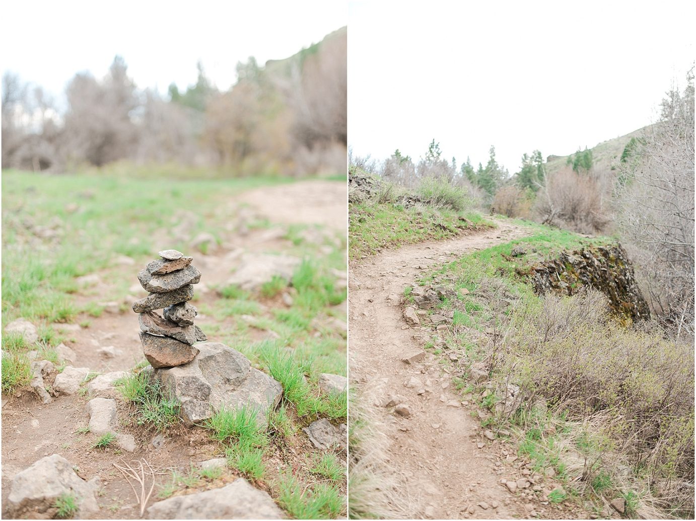
There was even this cute cairn that someone had made on the trail. Raylee kept telling me “KICK IT MOM!!!!”
I didn’t kick it.
After the grove, and the cairn, and the cute arch, we found ourselves at a water crossing. I knew it was going to happen. What I hadn’t planned out was what would happen if we fell in. HA! There are 4 different places that you can choose to cross and if you look at my GPS from my Apple Watch, you can see that I was having this internal struggle going back and forth trying to decide just which one would be the less treacherous. One of them was in deeper water, but some logs had fallen into the water and I watched another couple cross here. The logs looked steady (enough) I was just worried about how much weight bearing they could take. The logs looked damaged, and questionable, but luck enough, after about 15 minutes, I got the idea to find another big ol’ stick to help steady us while we crossed. I didn’t hold it like like a tight walker, but I jammed in into the bottom of the creek and used it to help us not fall into the water while I tediously shuffled from log to log. But we made it. And no one fell in.
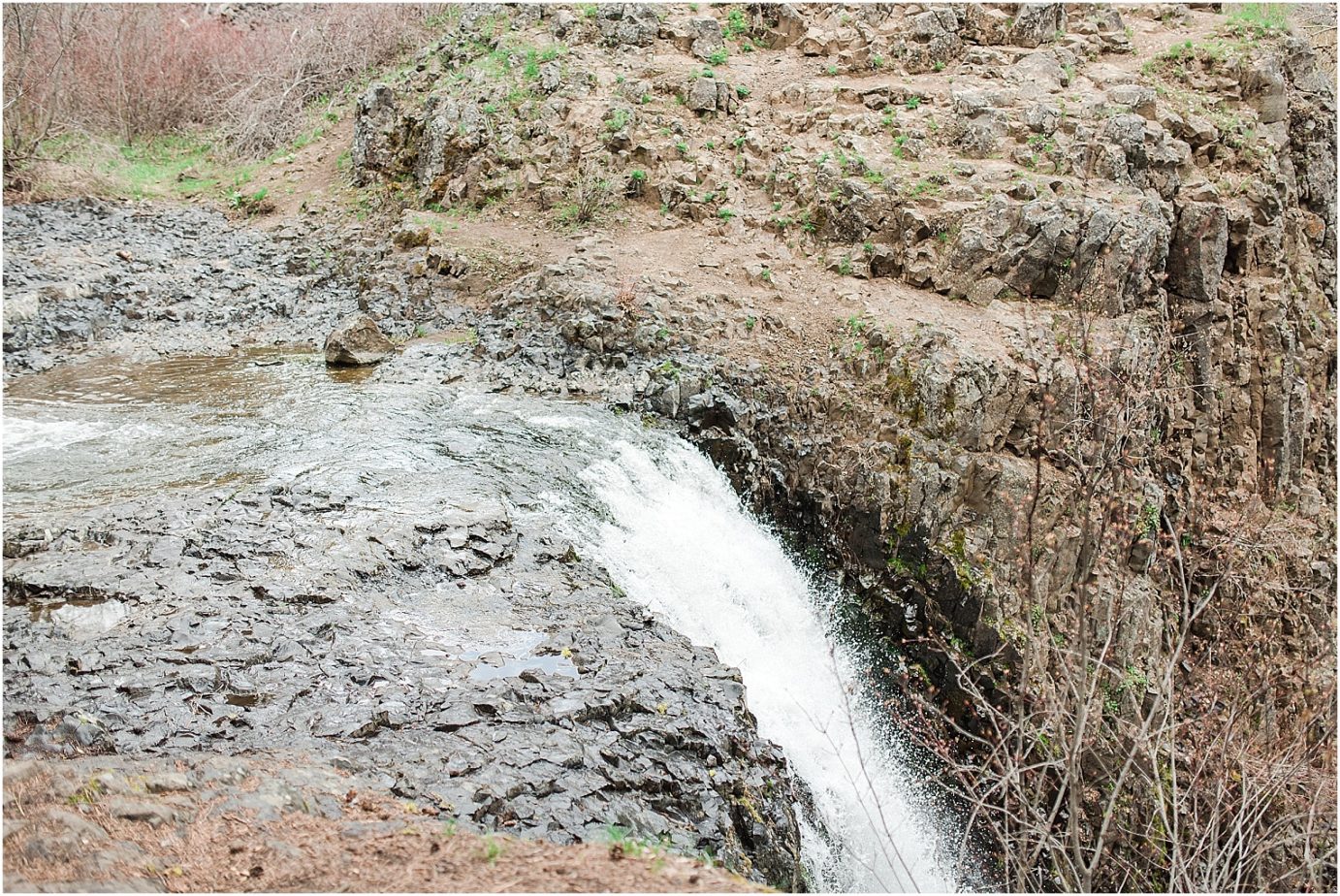
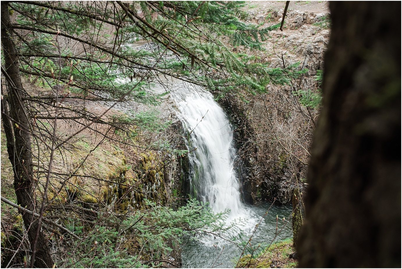
After a mile of walking, the creek started to get more violent and I knew what would come next, and after a HUGE mud puddle with no other way around it, we made it to the top of the falls. That was different, but pretty cool. I wish I would have gotten a few more photos at the top, but I was more worried about the thunderhead that was rolling over us, spreading it’s good cheer down on us, and the slickness of the rocks to be too concerned about taking photos. I put my camera away, and we started our trek to the other side of the cliff to really see the falls.
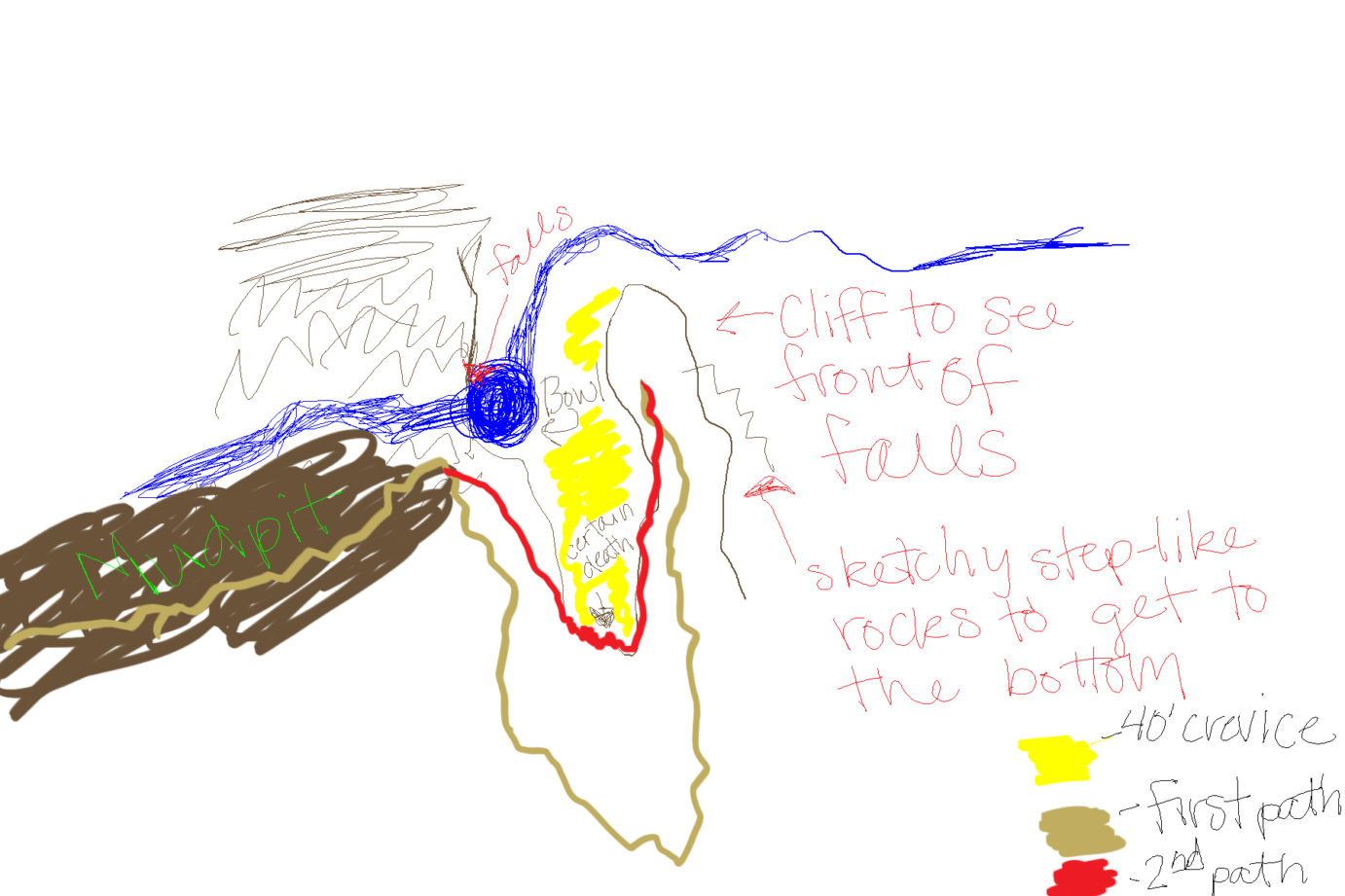
I drew a picture for you to get a better idea. I almost feel like Dora the Explorer. HA! We went through the muddy mud-pit, up the sketchy mountain (which is my first path), over to the cliff to get this view!
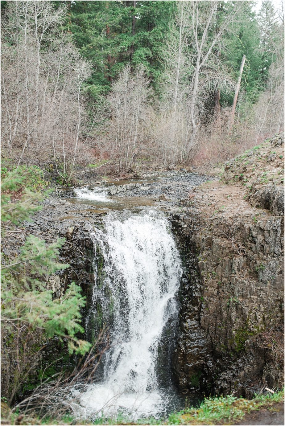
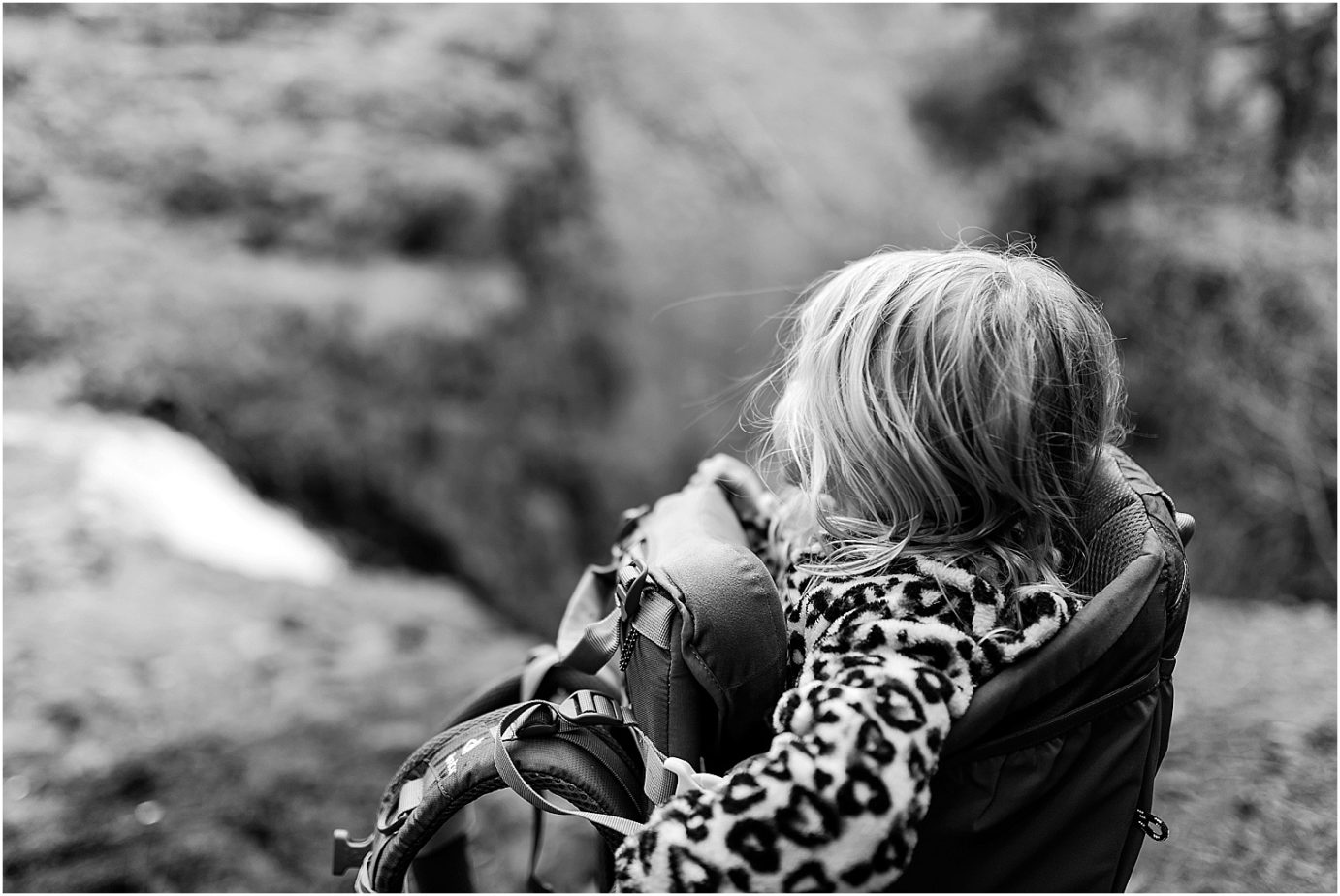
Cool right!? Now when I showed Justin these photos, he said “that doesn’t look very big,” and it doesn’t. That’s what I thought while I was up there too. There is a little path that you can take down to the bottom to get a better view from the bowl of the falls, but it’s just a bunch of slippery, slimy, rocks with a 40 foot drop on each side, and I didn’t want to chance it with Raylee on my back. She wouldn’t be much help if I got hurt. The falls is about 40 feet tall though. So we got the side of the cliff and I thought, “I don’t want to go that same way, it was really steep. Why don’t I just take the short cut I just saw some college kids take. This is the red path. It was fine at first until I got to the point of certain death. This is basically just rocks, and a few little tree roots with a 40 foot crevice right under/beneath you. I don’t advise this. Ever. To anyone. We could have died. BUT we didn’t. So there’s that. 
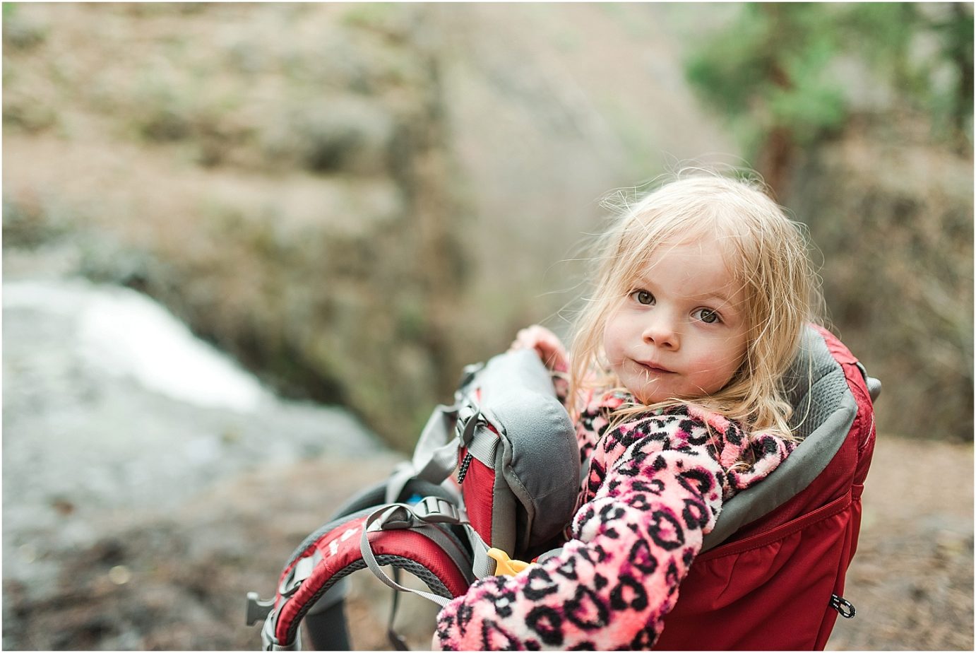
All in all, it was only about a 2.2 mile hike, but I might take it again before it really starts to warm up and the ticks come out. I’d love to do it WITHOUT Raylee on my back next time to really get to explore down below the falls. But until our next adventure!
Adventure is out there!!! 😉


+ COMMENTS
add a comment